Aerial Insights for Your Site Today
Transform Your Site Operations with Precision Drone Data
Whether it’s a quarrying, aggregates or construction, we offer deeper insight into your site using cutting-edge drone technologies and software solutions.
Get in touch today to find out more about how we can assist you in your day-to day planning and monitoring.
Full Site Elevation Visualisation
Full site Slope Steepness Visualisation
Hillshade Visualisation Including Contour Lines
Site Section Slope Direction Visualisation
Site Section Slope Steepness Visualisation
Dense Point Grid Survey at 1m Intervals
TIN (Triangulated Irregular Network) Model
Closeup Showing Highly Detailed and Accurate Elevation Data
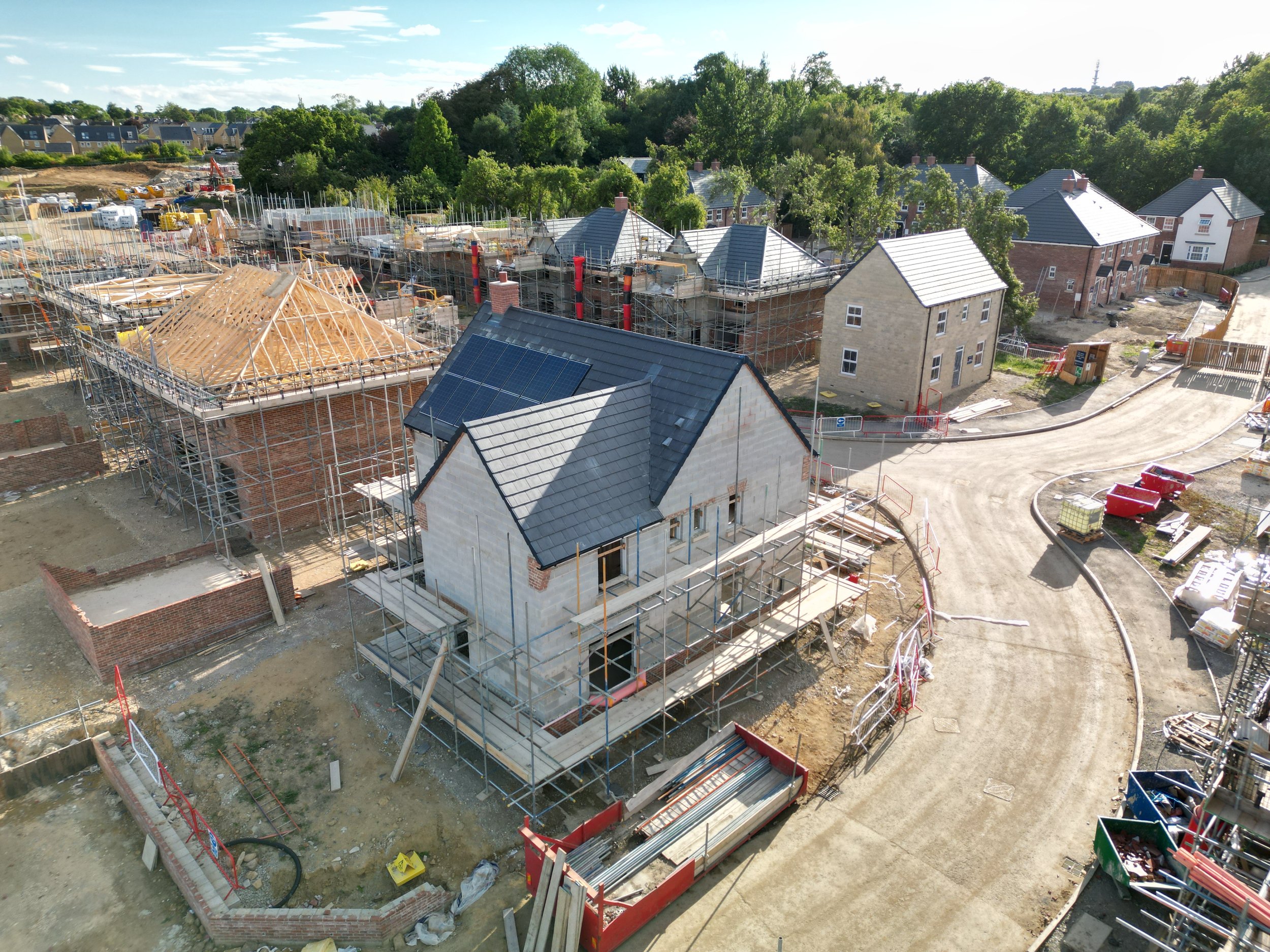


Photogrammetry project at the Elysian Fields residential construction site in North Leeds. Mission flown using the DJI Mavic 3 Enterprise drone. The video shows the initial image aquisition, georeferenced 2D orthomosaic map and elevation model as well as a 3D model. View on YouTube