CAD Integration
CAD Integration
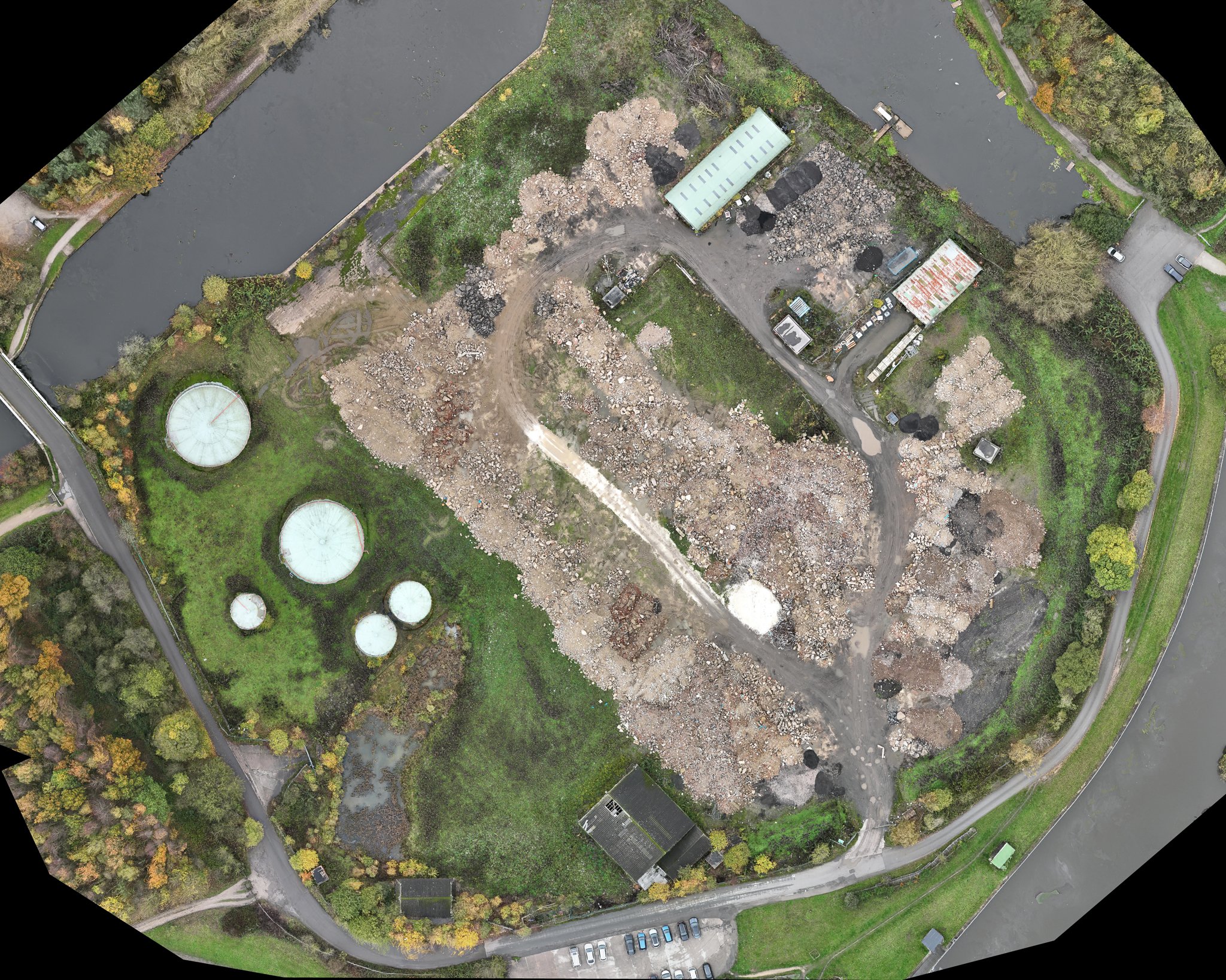
CAD (computer-aided design) drawings can be integrated with the outputs from drone mapping surveys on construction sites to provide construction professionals with an even more comprehensive view of the site's topography and features.
For example, CAD drawings can be used to create detailed plans for infrastructure and buildings on the site, which can be overlaid on top of the orthomosaic map or 3D model. This allows construction professionals to visualise how the planned infrastructure or buildings will fit into the site's topography and to identify potential issues or challenges that may need to be addressed during the construction process.
CAD drawings can also be used to create 3D models of the planned infrastructure or buildings, which can be overlaid on top of the 3D model generated from the drone mapping survey. This allows construction professionals to visualise how the planned infrastructure or buildings will fit into the site's existing topography and to identify any potential clashes or conflicts with existing features such as trees, buildings, or infrastructure.
Furthermore, CAD drawings can be used to create detailed site plans, showing the location of features such as roads, parking areas, and drainage systems. These site plans can be overlaid on top of the orthomosaic map or contour map, providing construction professionals with a clear understanding of the site's existing infrastructure and how it fits into the site's topography.
Integrating CAD drawings with the outputs from drone mapping surveys on construction sites can help construction professionals to plan and execute construction projects more efficiently and effectively. By providing a detailed and comprehensive view of the site's topography and features, construction professionals can identify potential issues and challenges early in the planning process, allowing them to develop effective solutions and minimise the risk of delays or cost overruns during construction.