Thermal Maps
Thermal Maps
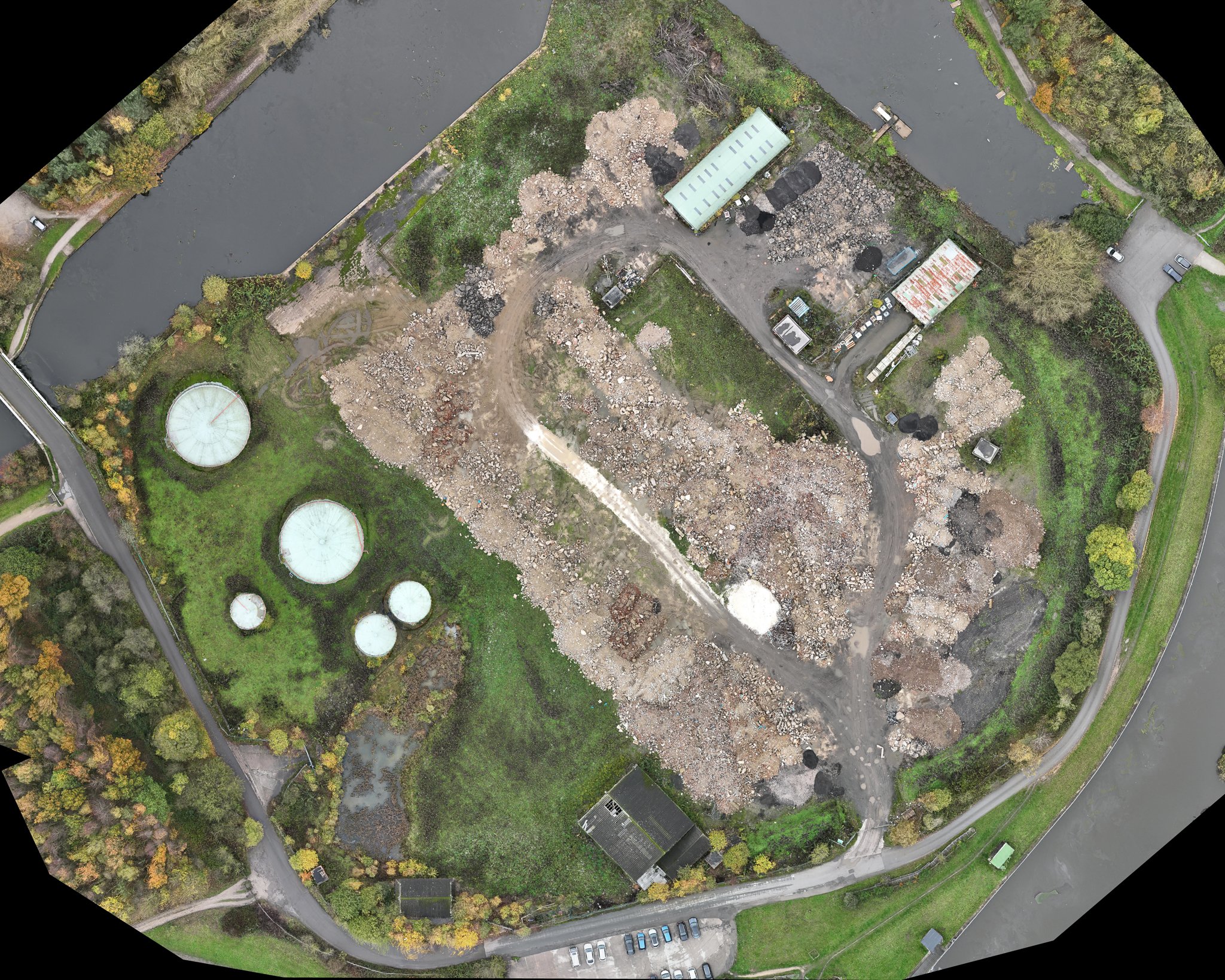
Thermal maps are a type of output that can be generated from drone mapping surveys on construction sites. These maps show the temperature of various features on the construction site, providing construction professionals with valuable information on heat signatures, insulation, and energy efficiency.
Thermal maps are created by using a thermal camera mounted on a drone to capture infrared radiation emitted by the objects and surfaces on the site. These images are then processed to create a thermal map that highlights temperature variations across the site.
Thermal maps can be used in a variety of ways on construction sites. For example, they can help identify areas of heat loss in buildings, which can be indicative of insulation issues. They can also be used to identify areas of excessive heat build-up, which can be indicative of issues with equipment or machinery.
Additionally, thermal maps can be used to monitor the progress of construction projects. For example, they can be used to track the curing of concrete, which produces heat as it hardens. This can help construction professionals ensure that the concrete is curing properly and can be an indication of when it is safe to proceed with the next stage of construction.
Overall, thermal maps are a valuable tool for construction professionals who want to optimise their construction projects for energy efficiency and safety. They can help identify areas of heat loss, detect equipment issues, monitor curing processes, and ensure that construction projects are completed efficiently and effectively.