UAS Mapping Output
Drone Photogrammetry Deliverables
Mapping and Modelling Output
Drone technology has revolutionised the construction industry by enabling the efficient and accurate mapping of construction sites. Drone mapping surveys provide a wealth of data that can be used to optimise construction processes, enhance project management, and ensure that the construction project is executed safely and within budget.
In this blog post, we will discuss the various outputs that can be generated from a drone mapping survey on a construction site.
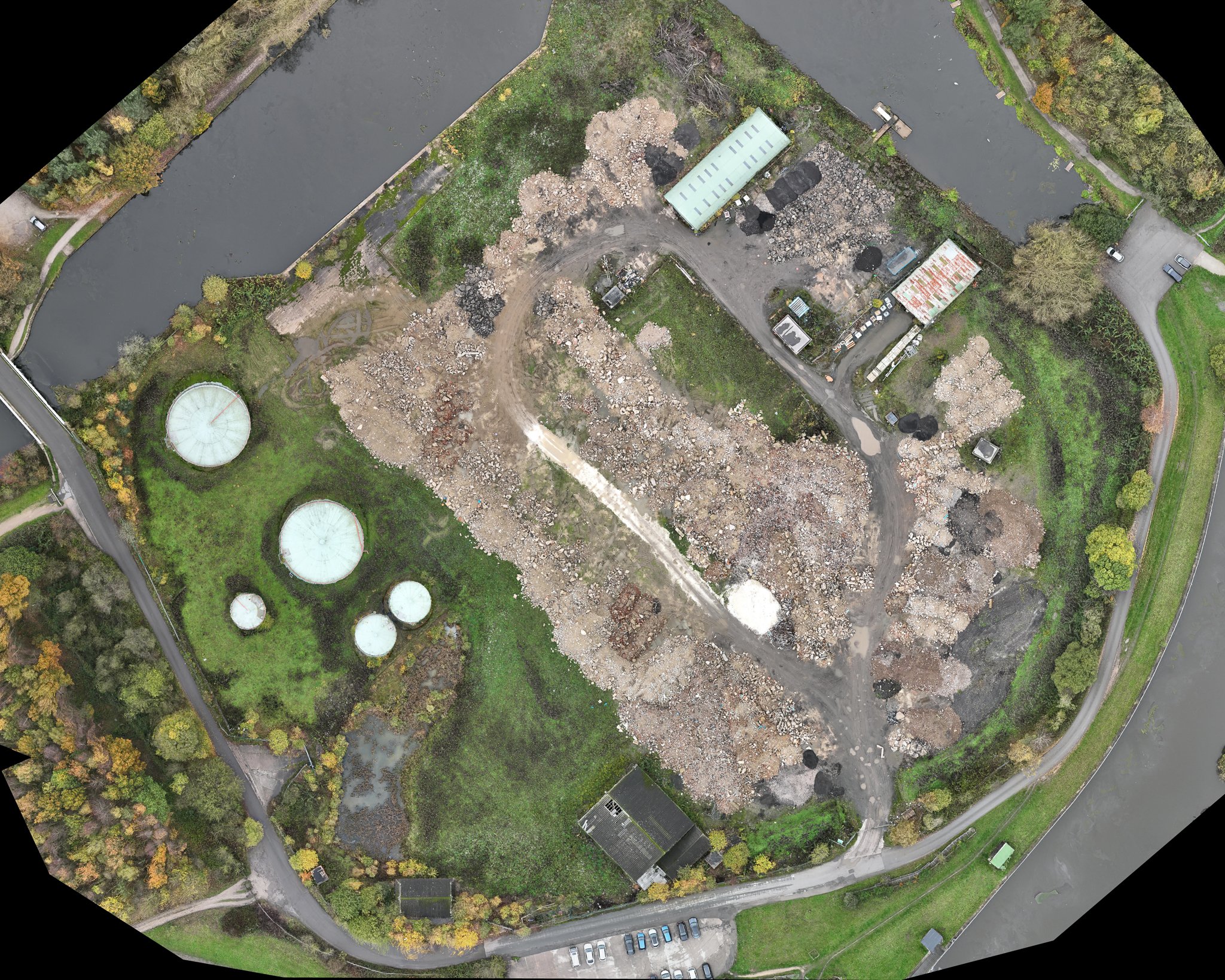
2D Orthomosaic Maps
An orthomosaic map is a high-resolution image of the construction site that is created by stitching together hundreds or even thousands of individual aerial images taken by the drone. This map is a 2D representation of the construction site, and it is useful for providing a detailed overview of the site's topography, infrastructure, and other important features.
3D Models
Drone mapping surveys can also generate 3D models of the construction site. These models provide a more comprehensive view of the site and can be used to identify potential issues or hazards that may be difficult to detect from a 2D map. 3D models can also be used to visualize different design options and optimise construction workflows.
Point Clouds
A point cloud is a large collection of points that represent the 3D coordinates of objects and surfaces in the construction site. These point clouds can be used to create detailed 3D models of the site, and they can also be used to measure distances, volumes, and other important metrics.
Digital Surface Models (DSMs)
A digital surface model is a 3D representation of the construction site that shows the elevation of the terrain and other objects on the site. DSMs are useful for analysing the topography of the site and identifying potential drainage issues or other problems that may impact the construction process.
Contour Maps
A contour map is a 2D representation of the site that shows the elevation of the terrain in a series of evenly spaced contour lines. These maps can be used to identify potential drainage issues, slopes, and other important features that may impact the construction process.
Thermal Maps
Drone mapping surveys can also generate thermal maps of the construction site. These maps use infrared technology to detect temperature differences on the site, which can be used to identify potential issues with HVAC systems, insulation, and other building components.
In conclusion, drone mapping surveys provide a wealth of data that can be used to optimise construction processes, enhance project management, and ensure that the construction project is executed safely and within budget. The various outputs from a drone mapping survey on a construction site, including orthomosaic maps, 3D models, point clouds, DSMs, contour maps, and thermal maps, provide a comprehensive view of the site and enable construction professionals to make informed decisions about how to proceed with the project.