2D Orthomosaic Maps
Drone Photogrammetry Orthomosaic Maps
2D Orthomosaic Maps

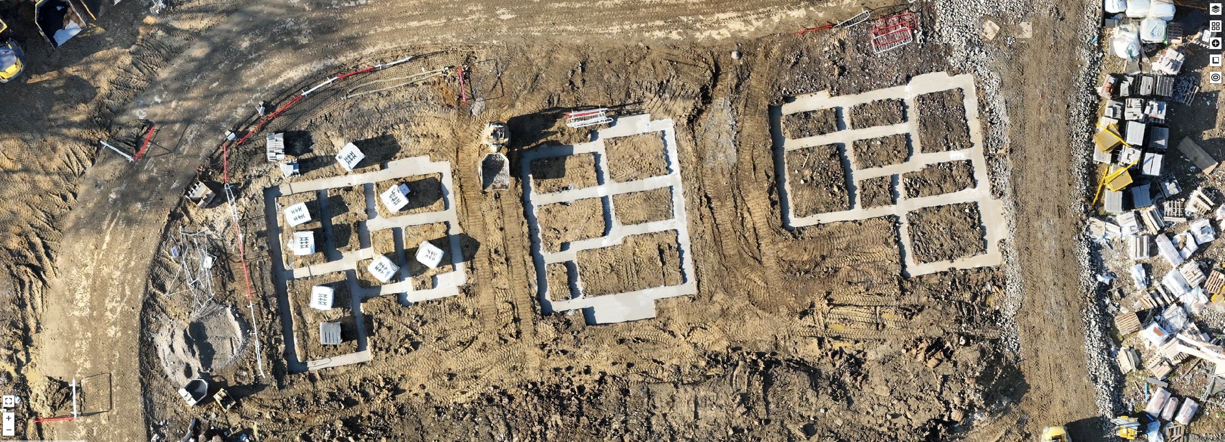
Orthomosaic maps are one of the most important outputs generated by drone mapping surveys on construction sites. These maps are high-resolution images that provide a detailed and comprehensive view of the site from above. An orthomosaic map is created by stitching together hundreds or even thousands of individual aerial images taken by the drone, using specialised software that takes into account the angles and perspectives of each image.
The resulting orthomosaic map is a 2D representation of the construction site that provides a wealth of information about its topography, infrastructure, and other important features. Every pixel contains geospatial coordinates and allows for extremely accurate measurement as well as visual inspection. Orthomosaic maps are particularly useful for construction professionals because they provide an accurate and up-to-date view of the site that can be used for a wide range of purposes.
One of the primary benefits of orthomosaic maps is that they can be used to identify potential issues or hazards on the construction site. For example, they can be used to detect areas of erosion or unstable terrain that may pose a safety risk to workers. They can also be used to identify areas where construction materials or equipment may have been left behind, which can pose a tripping hazard or interfere with ongoing construction work.
Orthomosaic maps can also be used to plan construction activities more effectively. For example, they can be used to identify the best locations for new buildings or infrastructure, taking into account factors such as sunlight, wind, and topography. They can also be used to optimise the layout of construction equipment and materials, reducing the time and effort required to move them around the site.
In addition, orthomosaic maps can be used to monitor the progress of the construction project over time. By comparing orthomosaic maps taken at different stages of the project, construction professionals can identify areas where work is progressing more slowly than expected, and take steps to speed up the process. They can also use the maps to ensure that the construction project is staying on budget, by identifying areas where materials or resources are being used more quickly than expected.
Overall, orthomosaic maps are a powerful tool for construction professionals, providing a detailed and accurate view of the construction site that can be used for a wide range of purposes. By using orthomosaic maps to plan, monitor, and optimise construction activities, construction professionals can ensure that their projects are executed safely, efficiently, and within budget.