Utilising Drones to Detect Deteriorating Reinforced Autoclaved Aerated Concrete (RAAC) in UK Educational and Healthcare Facilities
In the UK, aging buildings face RAAC deterioration challenges. Drones equipped with advanced sensors offer cost-effective, safe, and precise inspections, ensuring structural integrity in schools and hospitals.
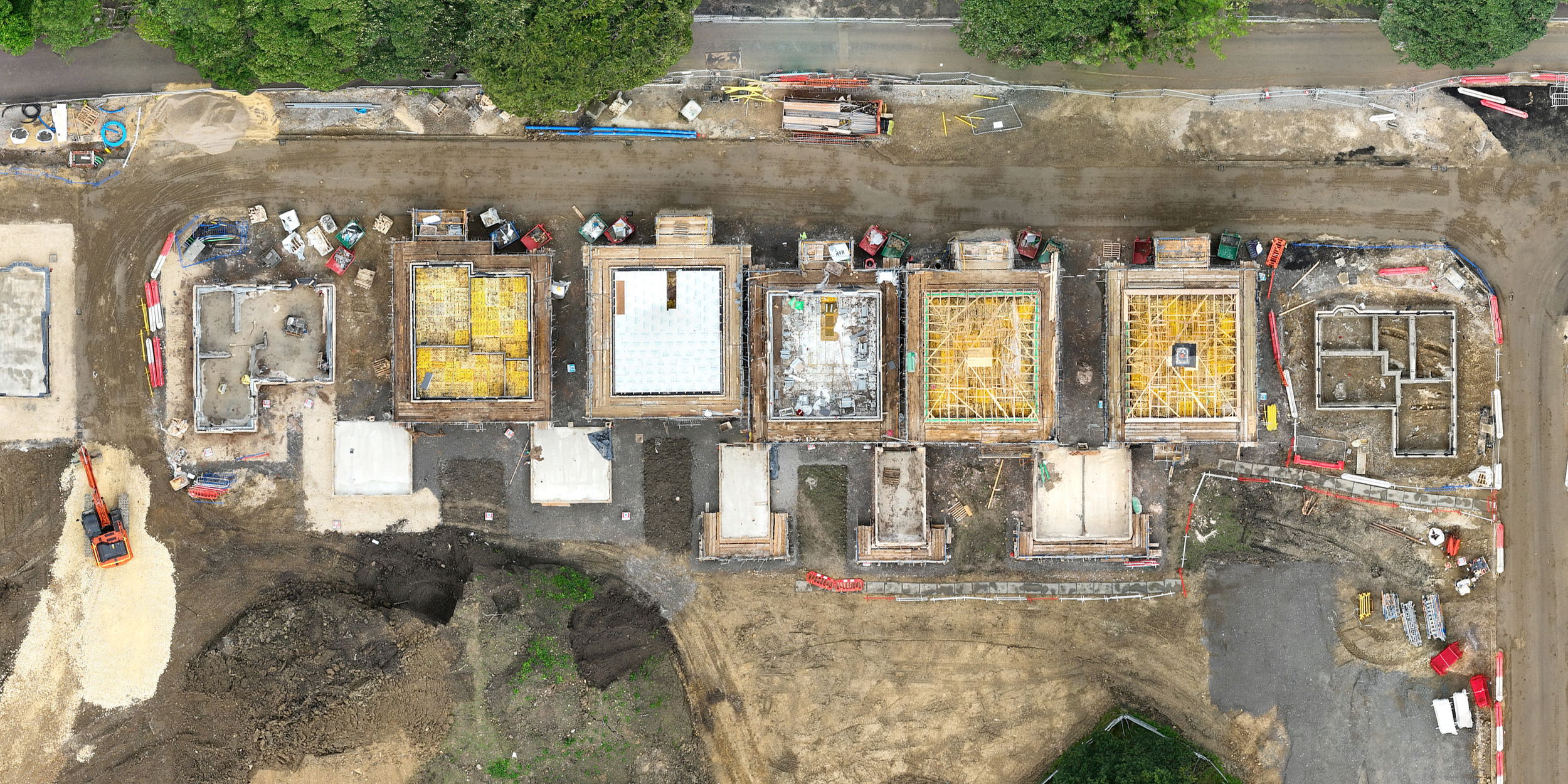
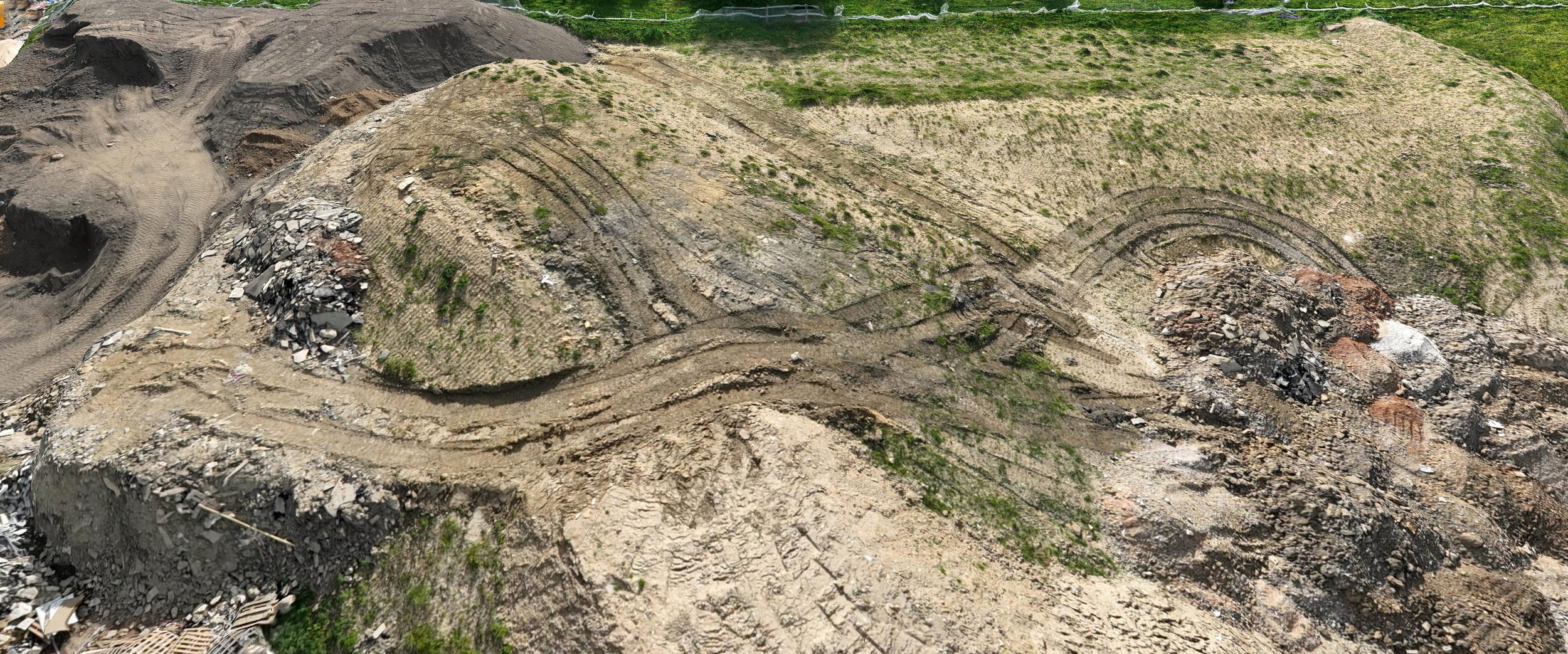
Drone Mapping Outputs
This blog post explains the various outputs that can be generated from drone mapping surveys on construction sites. These outputs include orthomosaic maps, 3D models, point clouds, digital surface models, contour maps, and thermal maps. The post explains how each output can be used by construction professionals to plan and execute construction projects more efficiently and effectively. Additionally, the post explains how CAD drawings can be integrated with these outputs to provide construction professionals with a more comprehensive view of the site's topography and features.