UAS Mapping
Drone Photogrammetry
Mapping and Modelling with Drones
Photogrammetry involves collecting many images, typically hundreds or thousands, and stitching them together to produce highly accurate and measurable representations of the area covered and objects included. Drones have some obvious advantages in this area as they can gather a huge amount of data in a very short time and with minimal disruption to ongoing operations while improving safety of workers on the ground who can avoid potentially hazardous situations. Drone missions are pre-planned on or off site and flown automatically allowing for exact repetition of inputs at designated intervals over time to monitor change and progress.
Outputs:
2D Orthomosaic Maps are images that contain georeferenced data whereby every pixel contains an x, y and z coordinate. These images can be used to obtain centimeter precision accuracy measurements of distances and volumes.
3D Point Clouds provide another way of visualising terrain and objects. They can be easily manipulated in a browser to develop a better understanding of
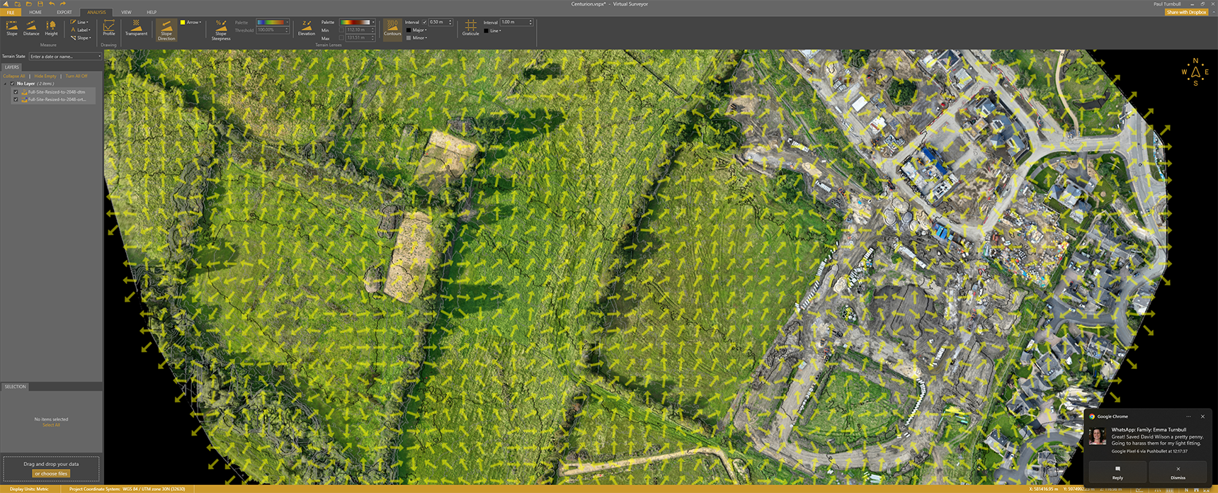
DSM and DTM are both digital elevation models where the surface model includes objects on the surface including vehicles, buildings, trees etc but the terrain model excludes these features.

Automated Flight Path (Misssion)

2D Orthomosaic of Construction Site

DSM (Digital Surface Model) of Construction Site

3D Point Cloud of Construction Site

3D Point Cloud of Construction Site Building

Alternative View of 3D Model

3d Textured Model of Construction Site

Alternative View of 3D Model

Alternative View of 3D Model

Alternative View of 3D Model

Closer Inspection of 3D Model

Elevation Model with Contour Lines